
DEEP
STRATA
Fall, 2022
Stratified storage at Chankillo
The project exists as two intersecting moments staged within the Chankillo landscape; a partially submerged stratified storage repository for archeologists, and a transect staircase that ends with a view to thirteen towers for visitors. These architectural moments reflect the project at its core, a moment of fusion between the land and the sky. The spaces of the research facility and visitor center intertwine and intersect this core moment, continually merging experience with utility in smaller cross-sectional moments. This relationship analogizes the ancient Andean sensibility of inscribing domestic and ritual objects with sacred symbols and hybrid celestial deities. This cultural practice in itself reflects a tethering between the three mythical planes of existence —the sky, the earth, and the underworld— so prevalent in the thousands of ancient artifacts that tell the story of the seven Andean epochs of pre-Columbian Peru.
Cosmological map of the monumental archeological complex at Chankillo
(cosmological drawing 1)
Site visit led by archeologist Ivan Ghezzi
(Site Photography)
Select pages from
Aspects of Incan Architecture
(Ann Kendall, 1985).
Stone Pumas are inlaid on the walls of a Kalanka in the ancient complex at Huánuco (left), and an example of "...masonry springing from natural rock..." (148) at Machu Picchu (right).


Historic rock inscriptions at Sechin
(Site Photography)
Sketches of ancient stone work.
Left. Hybrid faces carved into stone blocks are from the temple of Chavín de Huántar, notably culturally adjacent to Chankillo (the "...northern highlands, [in] one of the major temples of the Formative epoch, around 3000 years ago." (Museo Larco)
Right. Trabeated timber and stone construction found at the fortified temple at Chankillo.




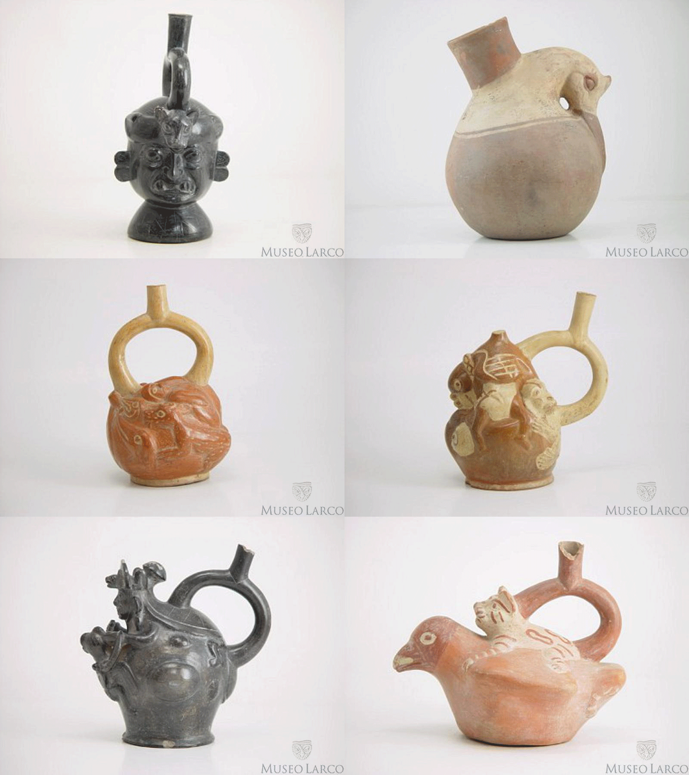
Left. Open archive at Museo Larco
Right. Digital Repository. Access granted courtesy of Museo Larco
Map of the coastal Ancash region, notably containing the Monumental Zone within the Chankillo Boundary
(site map)
Monumental Sub Area, Intensive Use.
It covers the architectural structures directly linked to solar worship and astronomical observation, arranged in a solstitial position. It comprises the Fortified Temple and trenches, the Thirteen Towers, the east and west observatories, and the administrative center. It is the place of attraction for visitors, although it is not yet suitable for public visit and use. For this reason, this space will provide the facilities for the interpretation of the cultural meaning of the site. Extension: 102 ha, which is equivalent to 2.27% of the intangible zone and 0.21 % of the plan's intervention area as a whole, considering the intangible zone and the buffer zone.
(Management Plan 2020-2030)
A
(Middle) One of the Thirteen Towers
"Each structure or “tower” has two stairs that lead to the upper part, one on the north side and another on the south side. The plant of the Structures vary from quadrangular to rhomboidal. The size and height present variations that range from 75 to 125 m2, and from 2 to 6 m high, with the towers located in the north end being taller than the rest, apparently to compensate for the lower elevation of the hill at its end north. However, the space between each structure varies very little, between 4.7 and 5.1 m. They present flat roof, forming a smooth surface or false horizon seen from the lower part, from west to this. Although there are no associated artifacts, the presence of stairs indicates that the towers were used at special times of the year. The ascent to the towers may have had a ritual importance, however, due to the narrowness of the stairs (1.3 to 1.5 m wide), a their length (1.3 to 5.2 m) and height (2-6 m), several of them are too steep to increase."
(Management Plan, 2020-2030)
(Left) Excavated Pillar at the Temple
"One pillar was relatively well preserved, though, protected by the very fill that was meant to bury the building: its excavation showed that its function was not just structural, because it was adorned with a double three-step motif, similar to known pottery designs at Chankillo, deeply recessed (0.07 m) into its front (ESE) and back (WNW) bases..."
(Ghezzi, 2021)
Monumental Sub Area, Intensive Use
Fortified Temple
West Observatory
Administrative Center
Temple of the pillars
Administrative Complex (Building 4)
Administrative Complex (NE complex)
A
B
C
D
E
F
G
(Right) Figures found at the West Observatory
"...[a large majority of the] collection of images of warriors found can be considered ... in the excavations at the west observatory..."
(Ghezzi, 2021)
"...individuals with access to sacred spaces and in control of astronomical knowledge would have been the conductors and great benefactors in the public banquets orchestrated by the movement of the Sun. These leaders would have possessed the ability to regulate time, ideology and calendrical rituals. in an imposing ritual setting that integrated this society, while accentuating its inequalities...."
(Ghezzi, 2006)

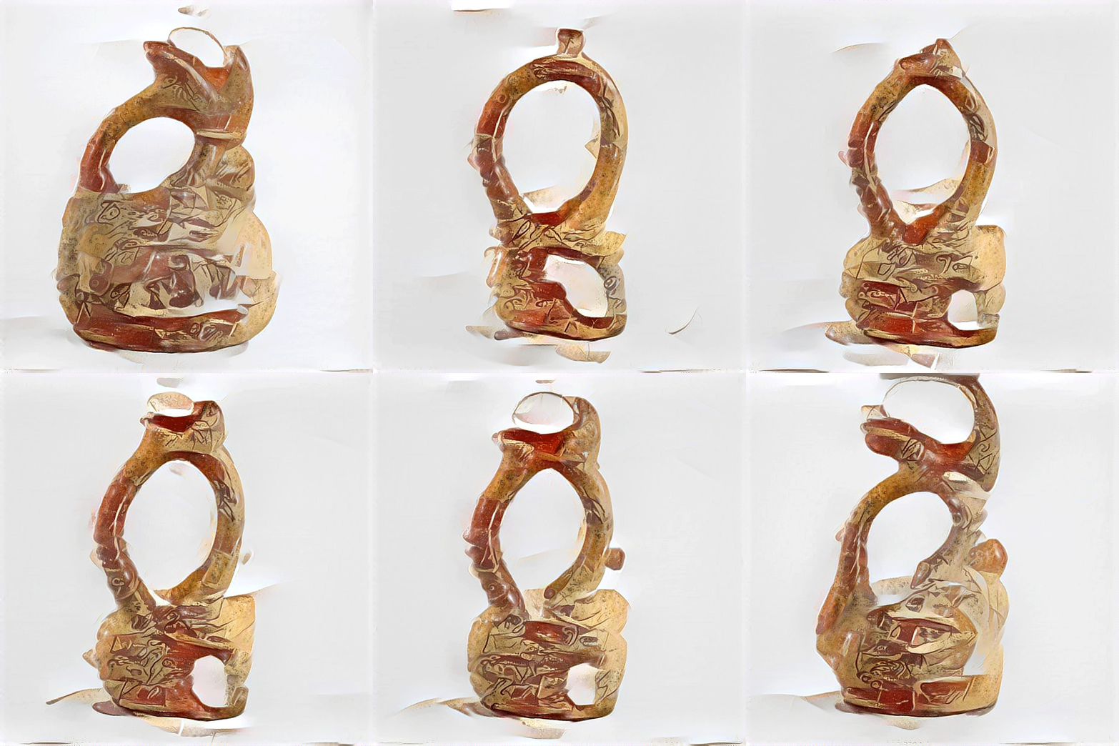
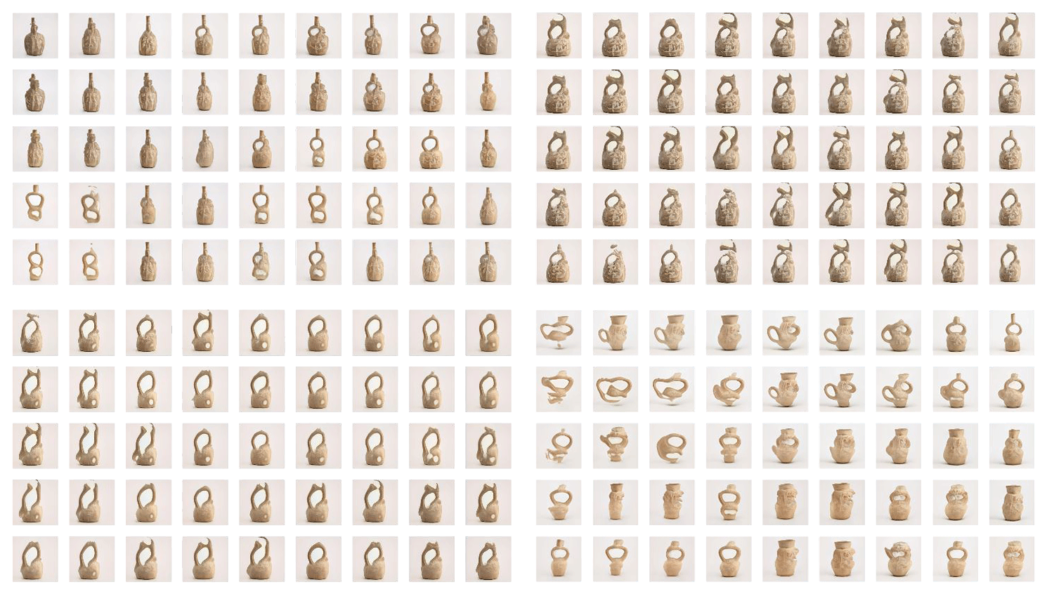
Transfer Learning, a method of controlling pre-trained generative AI models, was used to produce deep fake artifacts
Left. The structure of StyleGAN images are inscribed with features detected in "ground truth" Larco imagery.
Right. Latent Space of a StyleGAN2 model used to produce deep fake images

3D artifacts explored in casted rockite
architectural language
explored through collaged imagery
Swimming in the coastal fog of the morning, feline stones rest upon one another surveying the land
(Process Collage)


SECTION AA

SECTION BB


FLOOR PLANS
Amongst the archeological fragments, creatures emerge from the underworld at Chankillo
(Process Collage)

A visit to the heavens at Chankillo. Stretching, gliding, bounding. Bathing in afternoon sunlight.
(Process Collage)

SECTION DD

SECTION CC


SECTION DD


